Valparai (about 1200m) town is located 105 kms south of Coimbatore via Pollachi. Being close to Coimbatore city and Pollachi town, the Valparai is mostly a destination for day picnickers. There are similarities between Munnar and Valparai. Both these hill stations are located around Anamalai hill ranges – Munnar on the west and Valparai on the east. Both these hill stations are surrounded by tea plantations and forest reserves and close to Anamalai Wildlife Sanctuaries. While Munnar has become a well known tourist destination, Valparai is not and that is its plus point for those who wish to spend some time in Valparai in peace and tranquillity.
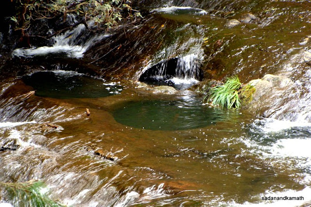
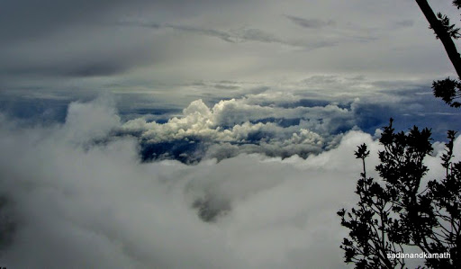
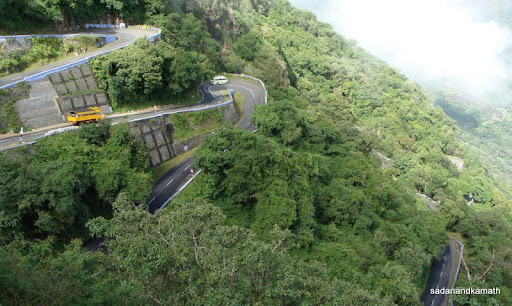
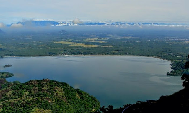
We left Kodaikanal for Valparai around 7.00 a.m. on a hired Indica (Rs.2500/-) as our driver was keen to pass through Palani on his return journey well before the pronouncement of Ayodhya court judgement. After a short coffee break at Udamalpet, we took a bypass road which joined Pollachi-Valparai road at Sungam about 12 kms from Pollachi. This road further goes to Anamalai. The ghat section of road to Valparai starts at Aliyar but the climb starts at Monkey Falls where we have to pay entry fee @Rs.15/- per head as tourists. After short breaks at Aliyar dam and Monkey Falls, our journey on numerous hair pin bends started. Due to excellent weather and road conditions, we never felt uncomfortable during the hill drive. We stopped at Loam’s View Point located on the 9th hair pin bend to see a panoramic view of Aliyar dam with reservoir and the plains.
 |
| Aliyar reservoir seen from the dam Aliyar dam road. |
 |
| Holiday crowd at Monkey Falls. |
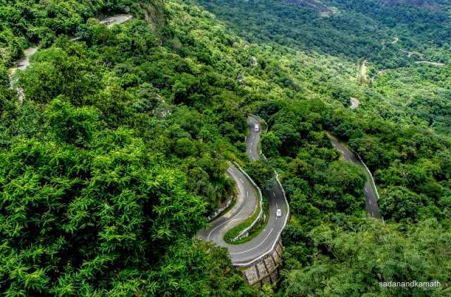 |
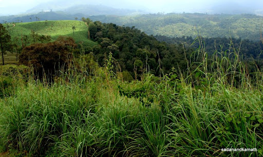
| Ghat road to Valparai seen from 9th hair pin bend. |
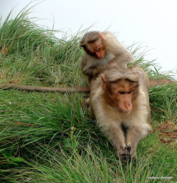
As we were on the 10th hair pin bend, a herd of Nilgiri Tahrs (I-bex) was descending from the slopes of 11th hair pin bend trying to cross the road probably to descend from the slopes further to 9th hair pin bend. They were 5-6 in numbers including 3 kids. While the adults crossed the road, kids were stranded as our car approached to take a sharp turn. Seeing them crossing, our driver immediately stopped the car to let the kids cross the road to join the adults. I got down from the car and took some snaps in quick succession hoping to get at least some of them to be perfect shots. Tahr kids were looking shy but lovely. Ever since I saw Niligiri Tahrs in Eravikulam NP, a couple of years back, I felt that despite being in wild, they are adorable animals.
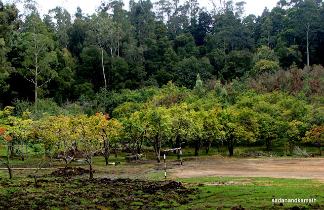
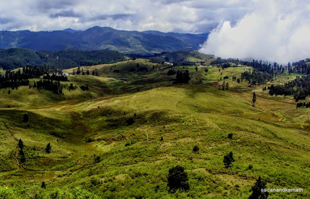
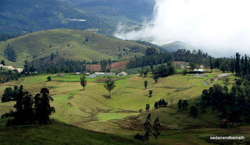
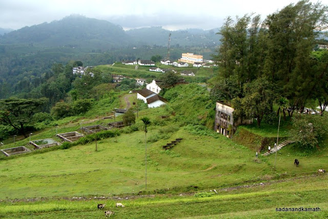
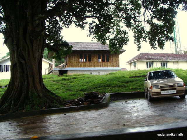
After about 27th hair pin bend, the forests gave way to rolling tea plantations and the first one to be seen on the way belonged to Waterfall Tea Estate. We had booked their Valley View Tea Bungalow (Rs.1700/- per day). After 28th hair pin bend, we took a diversion to the left and after about 2 kms of drive through the tea plantations we reached the Valley View Bungalow at around 12.30 p.m. I realised that we covered about 180 kms of distance pretty fast in 5 hours with coffee break, and doing short stops at Aliyar dam. Monkey Falls, and Lome’s View. Rajadurai (Raja), the Caretaker cum Cook of the Bungalow was at the entrance to receive us. One of the two suites in the bungalow was allotted to us. The room was spacious and clean with old charm. It had also a big veranda as a sit out facing the eastern side of tea plantations. During our 3 days stay, there were no power outages. I had already indicated on the previous day to Rasha Karambaya who manages the Waterfall Bungalows, that we will have lunch at the Bungalow. The lunch was typically the South Indian fares which was sumptuous and tasty. My wife told me later that after leaving Mumbai, she felt for the first time that she had homely food. Thereafter, the breakfast, lunch and dinner menus were as per our preferences except that there was very little varieties for those who preferred other than South Indian fares.
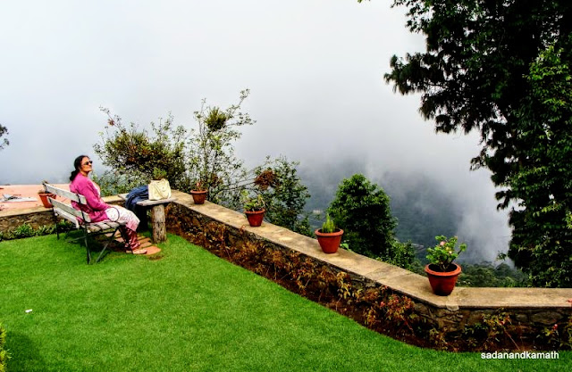
After some rest, we had planned for a stroll around tea plantations but Rasha told us not to venture outside the bungalow complex without the Caretaker accompanying us. Very recently, a bear with kids had been seen moving around tea plantations and had attacked two of plantation employees. So our strolls around tea plantations was restricted to the vicinity of the bungalow . I also noticed that Raja was closing the veranda’s open entrance with a tin sheet tied to pillars on both sides of the entrance. Later, it transpired that sometime back a bear was seen spending night in the veranda! It is said that sighting wild animals like elephants and bison in tea estates around Valparai is common, we could not see them in the vicinity of Valley View Bungalow. Had we been allowed to take rounds of tea estates in the morning and evening, probably we would have chance to see wild animals.
 |
| Aliyar reservoir and plains seen from 9th hair pin bend |
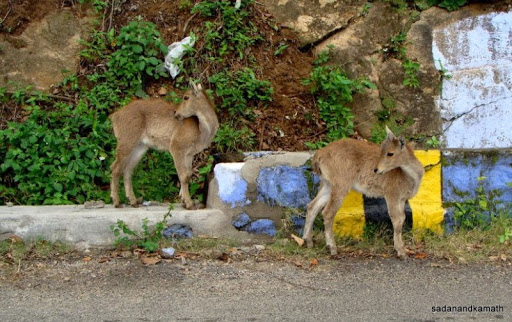 |
| Nilgiri Tahr (I-bex) kids on the road to Valparai at 10th hair pin bend. |
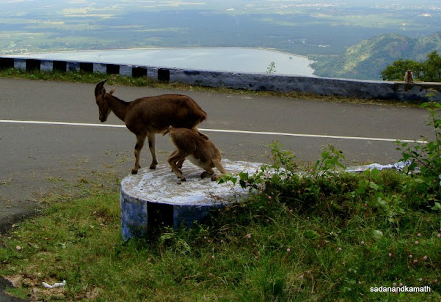 |
| Nilgiri Tahrs on 10th hair pin bend on ghat road to Valparai. |
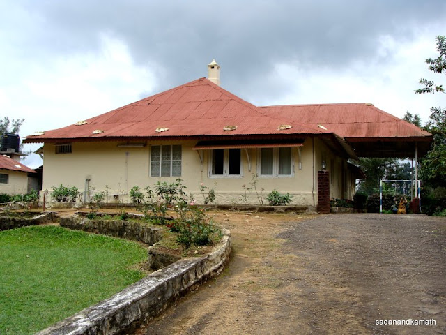 |
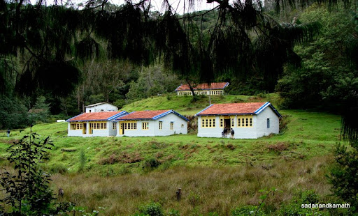
| Valley View Bungalow of Waterfall Tea Estate where we stayed. |
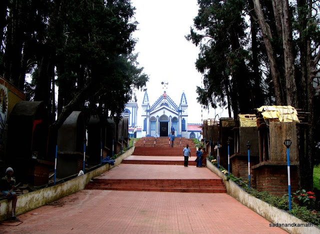
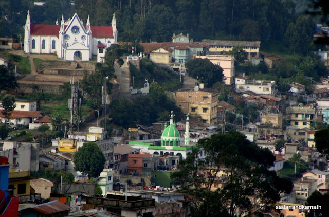
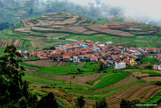
Next day, after a heavy breakfast, we commenced our local sight-seeing trip around Valparai at 9.30 a.m. in an Omni van (Rs.1200/- for full day). Our driver had already told us that the Forest authorities have temporarily suspended the visit to Chinnakallar Falls. Since we have already seen Aliyar Dam and were going to visit Sholayar Dam, we decided to opt out of visit to Neerar Dam which was on way to Chinnakallar Falls. We covered, Kamakshi temple, Balaji temple, Siddhi Vinayak temple in the first place. More than the visits to temples, the journey through these places were interesting as we had to pass through several attractive looking tea plantations. These temples are closed from 12 noon to 4.00 p.m. On the way, we passed through Valparai town which looked like any other town with not much ambience. It was good that I opted for our stay in a tea bungalow over hotels in Valparai town.
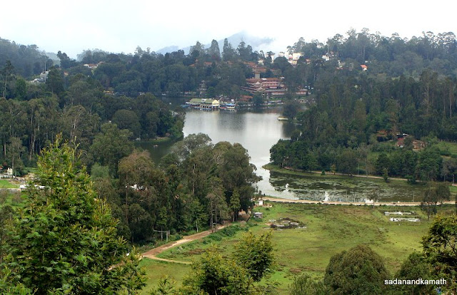
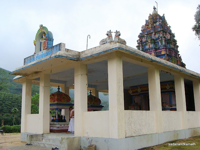 |
| Kamakshi temple on a road side. |
 |
| Typical tea plantation workers quarters seen from road to Valparai. |
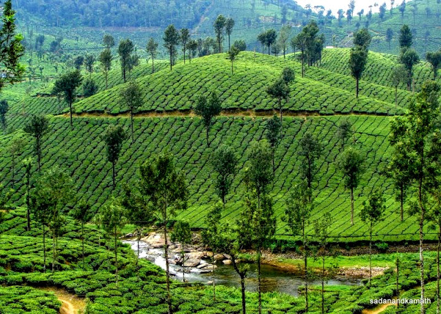 |
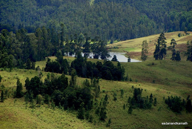
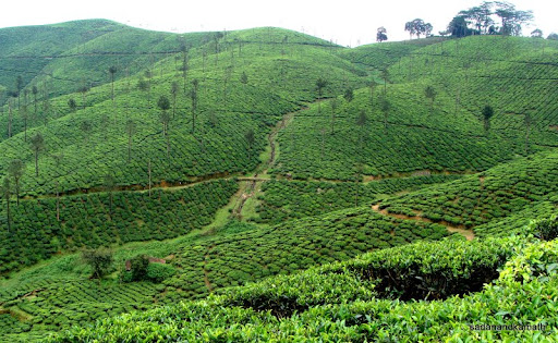
| Tea plantations. At the base is Nallamudi river. |
 |
| Tea plantations on way to Balaji temple. |
 |
| Tea Plantation on way to Balaji temple. |
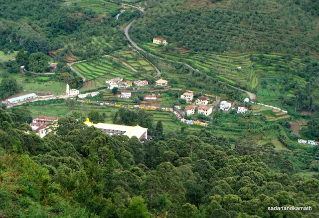
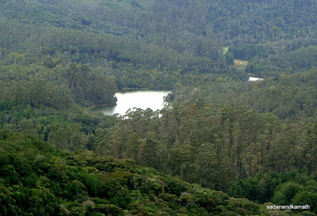
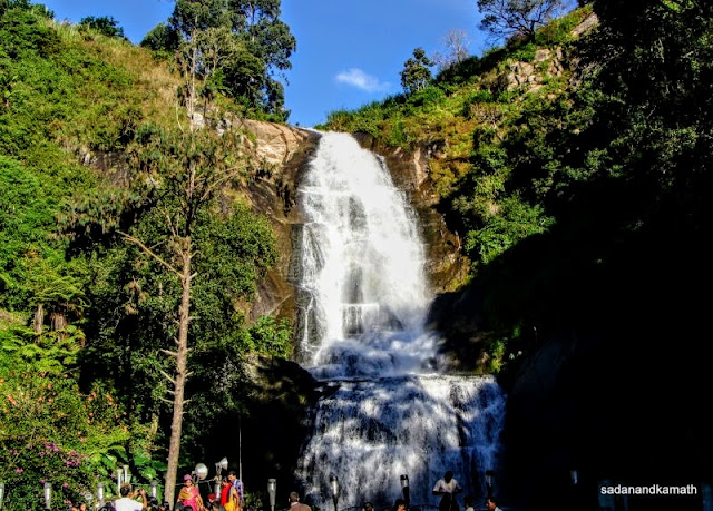
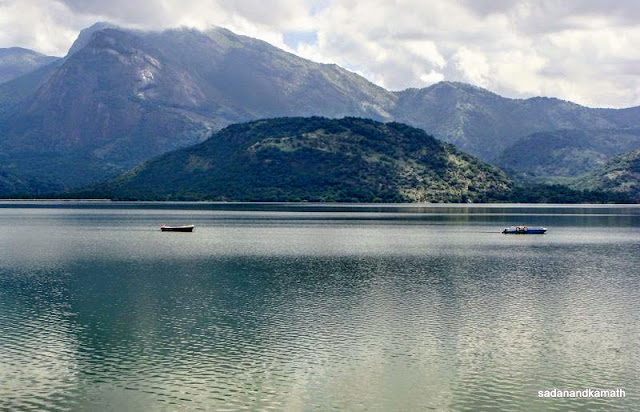
From Vinayak temple, we drove to Mudis Tea Estate. After paying Rs.15/- per head as entrance fee to forest department staff, a walk through tea plantations led us to Nalla Mudi Pooncholai (Valley View). The valley was covered with dense forests with a deep gorge. There was a big waterfalls (could not get the name properly). Some tribal settlements can be seen from the View Point. The other side of the gorge is the Kerala State with the nearest town being Munnar with towering Anaimudi peak. It will be interesting to explore the valley if there are walking trails. Thereafter, we drove on the Chalakudy road for Sholayar dam, our last destination of the day. On this route, we came across for the first time some coffee plantations. Soon we were driving by the side of the Sholayar reservoir, the dam being further 10 kms ahead. The Kerala Check Post is just two kms ahead of the other end of the Sholayar dam. The Sholayar reservoir was almost full with its water levels touching the road side at some places. We returned to Valley View Bungalow around 4.00 p.m.
The Tea Estate Manager had suggested two options for our next day's visit - Top Slip or Athirapally Falls. Since the latter was a long journey, we preferred Top Slip. It was suggested to us that we leave the Bungalow at around 5.00 a.m. to reach the Top Slip gate by 7.00 a.m. to get the first Safari of the day when there were better chances of animal sightings. We, however, decided to go for the afternoon safari.
 |
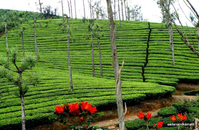
| Tea plantations of Mudis Tea Estate. |
 |
| A bowel shape tea planatation seen from Nallamudi Pooncholai. In the foreground is lemon grass. |
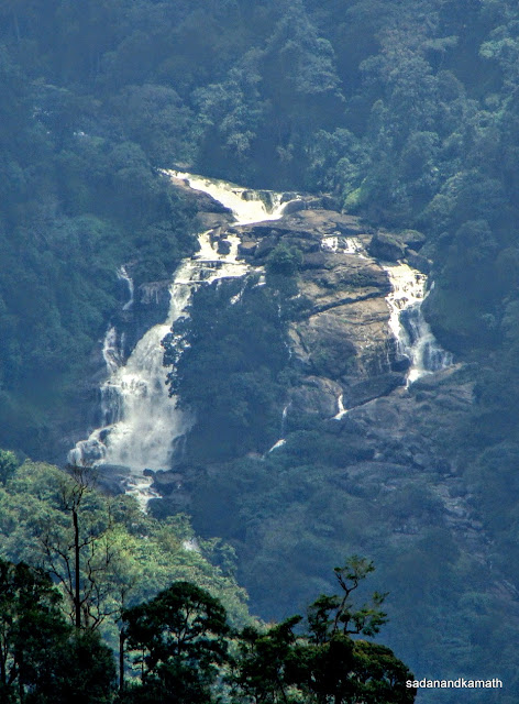 |
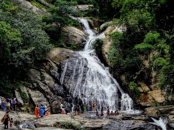
| A big waterfall seen from Nallamudi Pooncholai dividing Tamalnadu and Kerala state borders. |
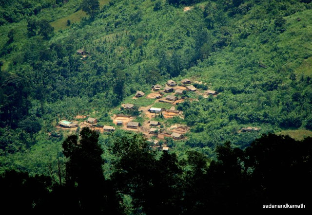 |
| A zoom shot of tribal settlements seen from Nallamudi Pooncholai. |
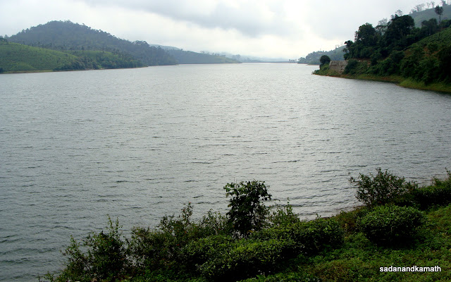 |
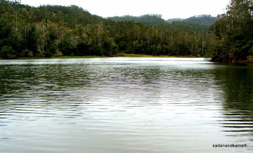
| Sholayar reservior. The dam is about 10 kms of further drive. |
 |
| This green patch by the side of Sholayar dam add beauty to the place. |
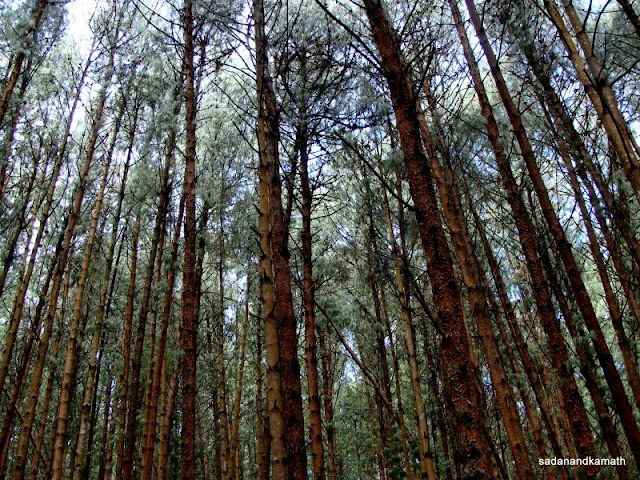
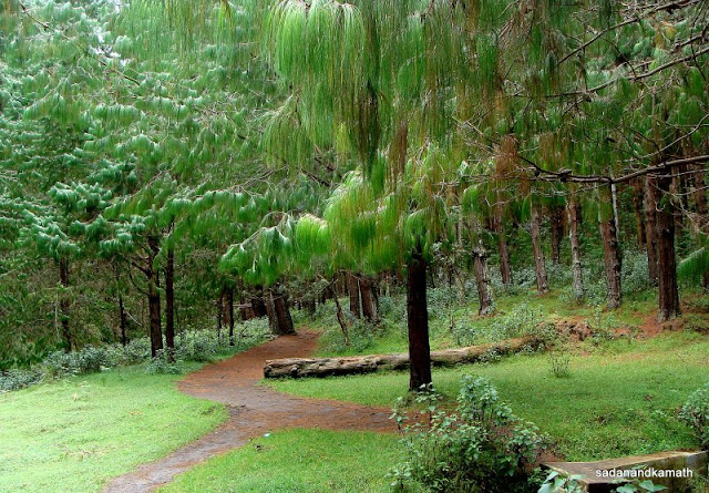
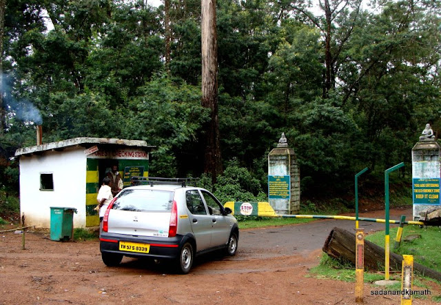
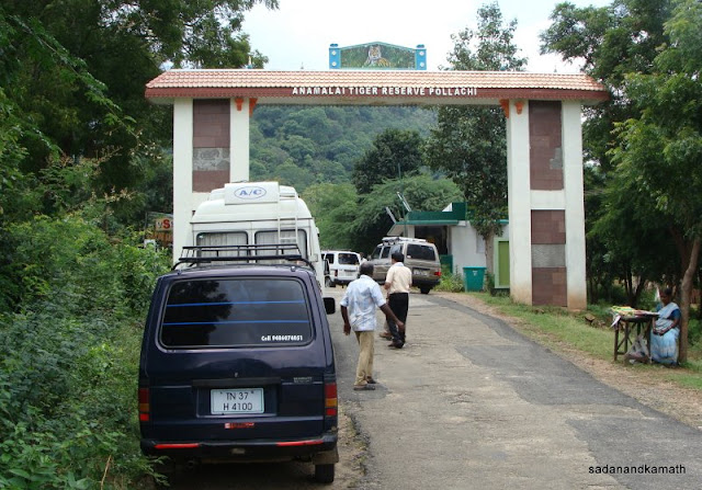
Next day, we embarked upon the journey to Top Slip by Omni (Rs.1400/-) at 10.00 a.m. with packed lunch packets. After Aliyar, we took road to the left and reached Sethumadai Forest Check Post at 11.30 a.m.via Kottur. After getting entry tickets, we started the remaining 11 kms of journey on a not so good road condition to Top Slip but made up the discomfort by the scenic drive through dense forests, mostly of bamboo and teak wood trees. The drizzle which had started the moment we crossed Sethumadai Check Post turn in to rains as we reached Top Slip Reception Centre at 12.30 p.m. There were three options for Top Slip Safaris : Vehicle Safari Rides (Rs.700/- for full minibus with a capacity of 25 persons) Elephant Safari (4 persons for Rs.500/-) and Treks (Rs.100/- per person with a guide). The Wildlife Warden told us that only Vehicle Safari Ride was available for the day which will leave at 2.30 p.m. and he noted down our names. I guess the chances of getting Elephant Safaris and Trek guides are high at the start of the day. The Reception Centre had a board displaying the latest sightings of wild animals in Top Slip Sanctuary and I was happy to note that a tiger and a leopard were sighted on 25th September and 1st October respectively – both during evening safaris.
 |
| Houses made of coconut leaves are a common sight on way to Sethumadai. |
 |
| Sethumadai Forest Check point. |
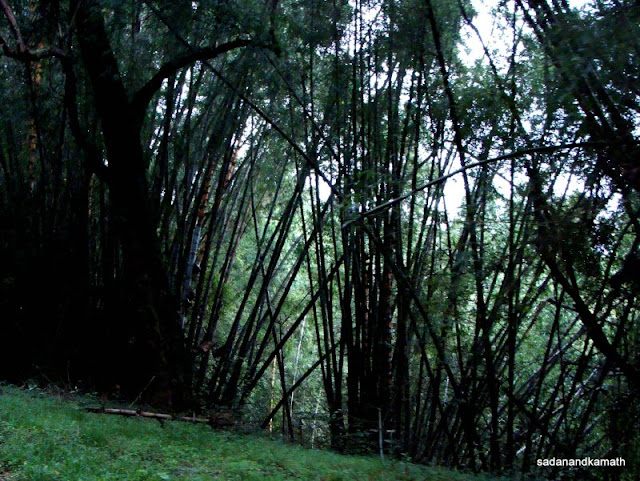 |
| Dense bamboo forest dominates the road from check post toTop Slip. |
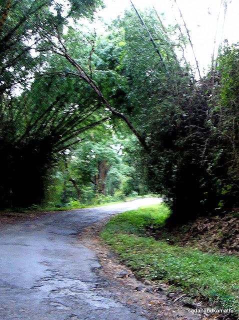 |
| A bamboo forest arch on way to Top Slip. |
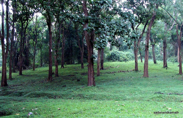 |
| Teakwood forest just before Top Slip Reception Centre. |
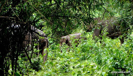
After spending some time around Top Slip Reception Centre and at a small museum, we mostly confined ourselves in the Omni van as it was raining. The safari minibus started from the Reception Centre as per schedule. After crossing the gate, we entered the sanctuary area. The forest rest houses are located inside the sanctuary within first 2 kms of ride. From outside, they look impressive. I was not optimistic about sighting wild animals as it had been raining for last two hours. After about 15 minutes, we came across a herd of elephants on the left side of the bus. There were scrambles for the vintage point to click the pictures. In this milieu, many in the bus failed to notice that along with a herd of elephants, there was also a herd of bisons. It would have been great to click the combined pictures of elephant and bison herds but with a small bus window with too many enthusiasts to click pictures, prevented me to take what could have been a memorable shot. At the end, I somehow clicked some 2-3 shots of elephants 2 of which fortunately came out to be good ones. Thereafter we saw 2-3 more herds of elephants but they were far off in the forest. We missed an opportunity to click a solo elephant trying to break a tree branch on a road side slope which was not more than 10 feet away from our bus. But our bus driver did not stop at this point as it was considered risky to face a solo elephant and that too very close to our bus.
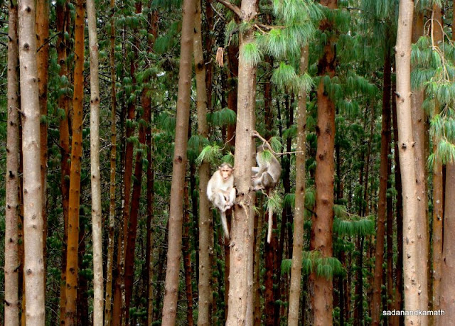
We also saw large number of spotted deers at many places. Unfortunately, we could not spot any lion-tailed monkey. On our return journey, few of us in the bus including me saw a giant squirrel moving very fast on a tree. Unfortunately, as the bus roof was not transparent, many of our fellow travellers including my wife could not see it. At the end of one hour safari, I felt that despite rains, we had good animal sightings.
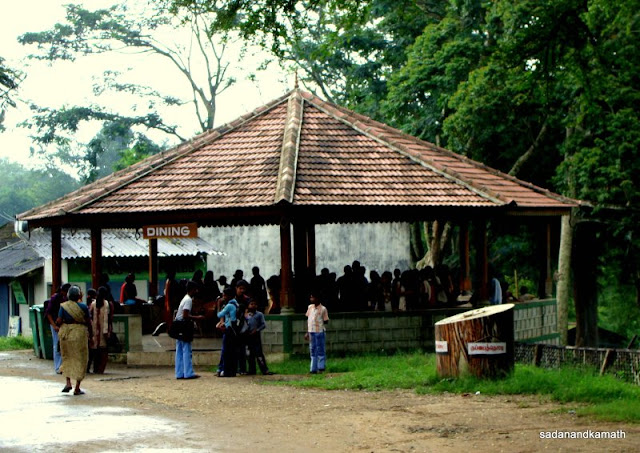 |
| A dining place for visitors at Top Slip Reception Centre. |
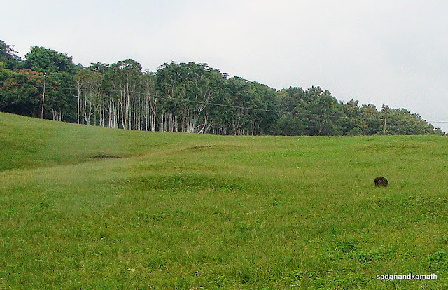 |
| Grassland in front of Top Slip Reception Centre. |
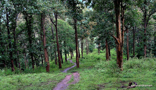 |
| One of many pathways inside Top Slip Sanctuary. |
 |
| A herd of elephants seen in Top Slip Sanctuary. |
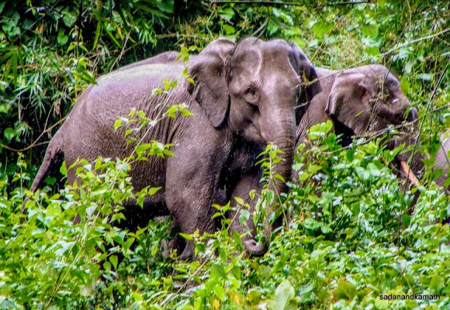 |
| Zoom shot of Elephants in Top Slip Sanctuary. |
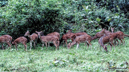 |
| Spotted deers in Top Slip Sanctuary. |
 |
| Forest Rest House 2 kms inside Top Slip Sanctuary. |
1. At At the the end of the Vehicle Safari, I felt that it would have been great if we had spent a night in FRH, Top Slip to get a feel of staying in the forest. This would have also given us the opportunity to get an early morning Elephant Safari ride which, in my view, provides better animal sighting and photo taking opportunities with 360 degree view.
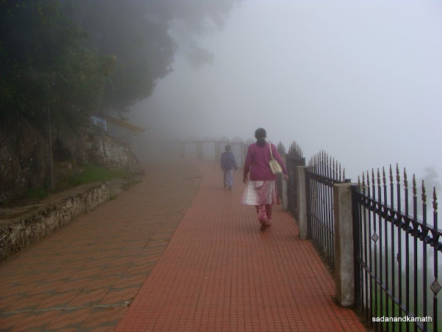
Since it continued to rain, we left Top Slip immediately. The return journey to Valley View Bungalow would have been uneventful but for the thick fog which engulfed as we were negotiating hair-pin bends. It was scary as large number of cars/SUVs with day trippers were coming from the opposite direction as the day being public holiday. We reached Valley View Bungalow at around 6.00 p.m. and within few minutes, it started raining heavily lasting 3 hours – the heaviest rains we witnessed during our entire sojourn.
 |
| Valparai ghat road seen from 12th hair pin bend on our return journey. |
 |
| Aliyar reservoir with dam seen from 12th hair pin bend on Valparai ghat road on our return journey. |
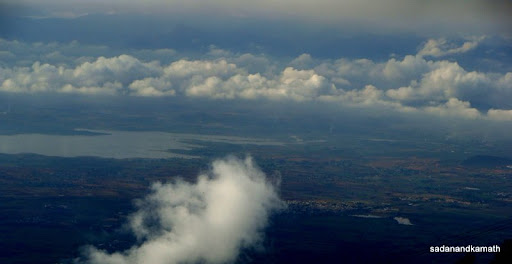
Next day, after an early breakfast, we left Valley View Bungalow for Coimbatore airport by Omni van (Rs.1300/-). On the way, we had once more panoramic view of Aliyar reservoir and plains from 12th hair-pin bend. During the journey, I was already planning a revisit to Valparai to explore the forests and also make good the missed opportunity of taking what is branded as a breathtaking road journey to Athitapally falls. We return to a sultry Mumbai by an afternoon SpiceJet flight.