We had visited Kodaikanal during the Xmas vacation in 1980. A revisit to this charming hill station was long overdue. At last, me and my wife decided to revisit Kodaikanal during the last week of September 2010. The short gap between the withdrawal of south-west monsoon and the onset of north-east monsoon with a lean tourist season was considered an ideal time to be in Kodaikanal. After the completion of our Kodaikanal trip, we had earlier planned to return to Mumbai after spending a couple of days in Madurai. But the long train journey from Madurai to Mumbai was a dampner. The other option of taking flight from Madurai via Chennai was expensive. That was when the idea of making our first time visit to a non-touristy place - Valparai came to my mind. So our schedule Mumbai-Coimbatore-Kodiaknal (4 nights)-Valparai (3 night)-Coimbatore-Mumbai was finalised.
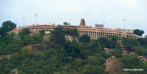 |
| Murugan Temple on a hill seen from Palani town. |
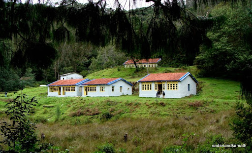
We took Kingfisher flight to Coimbatore and then by car (Rs.2000/-) to Kodaikanal. Our driver took Sulur-Palladam-Dharapuram-Palani route and reached Kodaikanal in about 4-1/2 hours (including a lunch break at Arya Bhavan, Palani). We had booked Hotel Villa Retreat (Rs.1650/- for deluxe room). The room was clean and spacious with a balcony overlooking the town. Since Classic Rooms were located below the Cocker’s Walk facing the beautiful valley of Vagai dam and plains, we wanted to shift to one of these rooms. Unfortunately, rooms were fully booked even for week days despite being the lean season. Since the hotel’s restaurant was under renovation ( this was one of the reasons for discount from the rack rates), we took breakfast/dinner at Astoria and Kodai Resorts which were located very close to our hotel. However, since it rained almost every evening, getting out of the hotel room for dinner even at the distance of less than 5 minutes was an ordeal.
 |
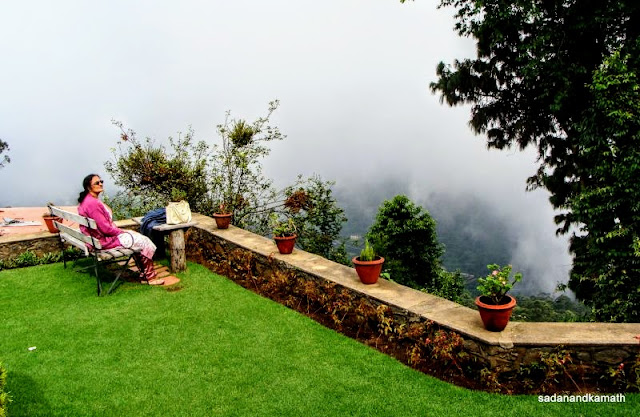
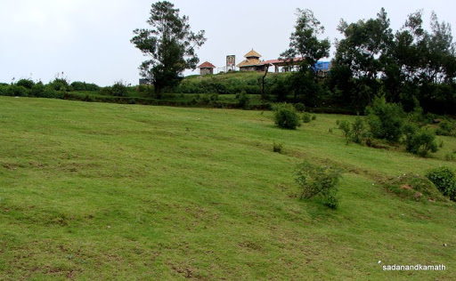
| Hotel Villa Retreat lawn. On the left top of the photo is Coaker's Walk railing. |
Earlier, I had told the hotel’s front office staff of our intention to visit Berijam Lake for which the hotel could arrange permits for us. According to front office staff, there was now uncertainty in getting a permit for Berijam Lake as the Forest Department had recently changed the procedures under which only DFO was authorised to issue permits. Earlier the Forest Rangers were given power to issue such permits. That helped the taxi drivers to arrange the permits early morning as one of the Forest Rangers was always available in the office. Now one has to wait for DFO to arrive at the office to get the permits which is possible only during office hours and that too if DFO is not on tour or busy with some other official engagements. Since there is uncertainty, Kodaikanal Taxi Drivers’ Association has decided not to take the onus of getting permits for Berijam Lake. I told the front office desk that since we are in Kodiakanal for 3 days, it should be possible for him to arrange the permit during that period for which he said he would try his best.
 |
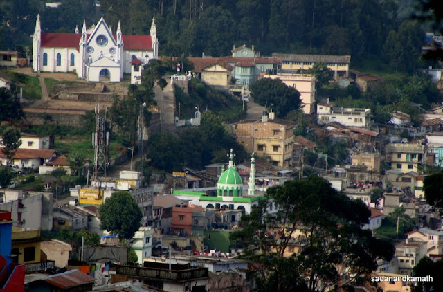
| Kodia town seen from our hotel room. |
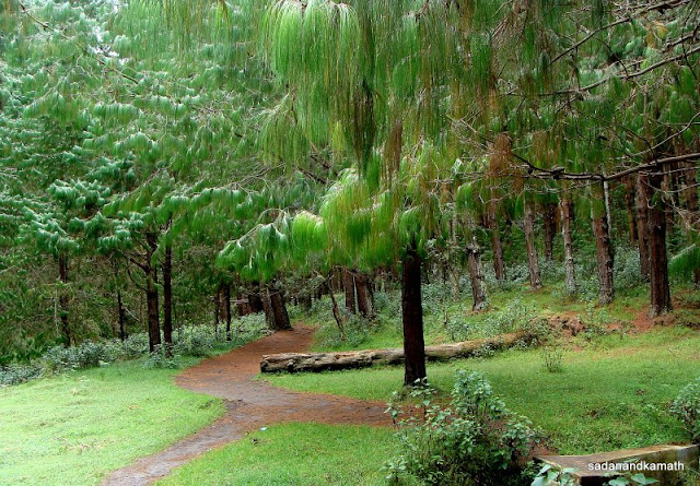
Day-1 : After a great South Indian breakfast at Astoria, we commenced our first day’s local sight-seeing on a hired Indica ( Rs.900/- for full day) covering Green Valley View (Suicide Point), Pillar Rocks, Guna Caves, Kurinji temple, Upper Lake View, Byrant Park etc, Most of the View Points were covered with mist except at views from Kurinji temple. We abandoned the Pine Forest walk near the golf course half way as the pathways were littered with glass pieces at many places. Our driver told us that if this type of irresponsible behaviour from tourists continued, he will not be surprised if the Forest Department make this forest out of bound for tourists. In the evening, we could get partial valley views from Coaker’s Walk for a brief period.
 |
| Valley view from Kurinji Temple. |
 |
| Chettiar Park. |
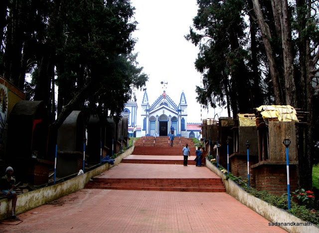 |
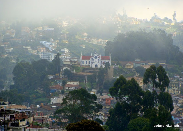
| La Salette Church |
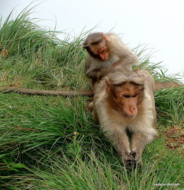 |
| Monkeys on Green Valley View Point. |
 |
| Pillars Rocks. |
 |
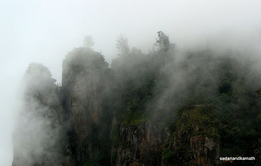
| Silent Valley View was covered with mists. |
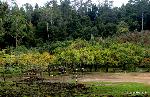 |
| Green apple orchard near golf course. |
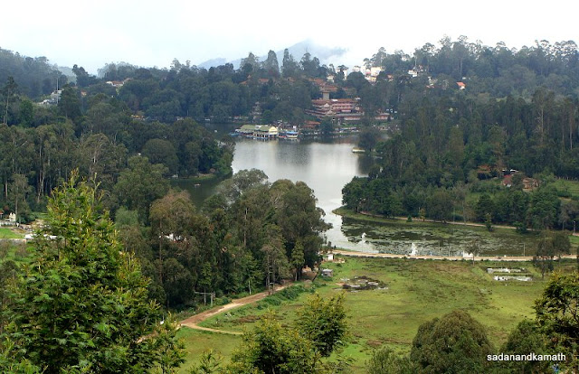 |
| Upper Lake View. |
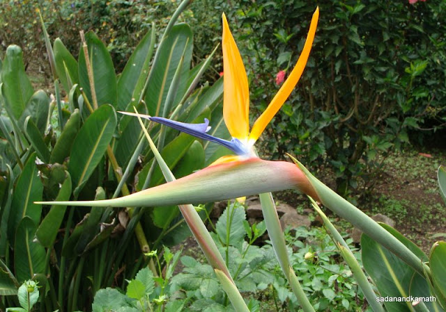 |
| An unusual flower in Bryant Park. |
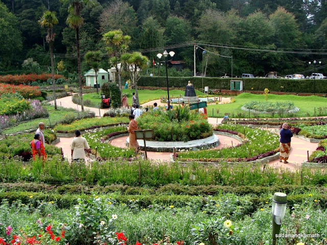 |
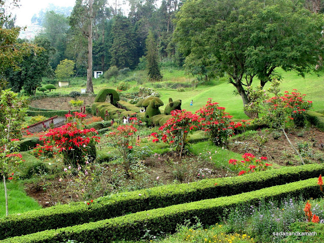
| Bryant Park. |
 |
| Valley in mist from Hotel Villa Retreat lawn. |
Day-2 : The same Indica Car was hired for full day @ 1500/- for taking us to Poombarai View Point and Mannavanur Lake. Since food was not available on the way except at some small dabhas, we bought some puffs and other bakery items from Hotel Hills Top Cafe Bakery ( good ones and cheap too). On the way, we stopped to take a short walk inside a dense Pine Forest. Two monkeys atop a pine tree near the gate seem to be waiting for some opportunity to snatch eatables from the unwary visitors. This pine forest was more denser and better maintained than the one we had visited near golf course. Our next stop was at Neptune Pool for which we were required to walk through the pine forest for about one km. According to my driver, the entire walkway was leech prone area and he advised us not to stop on the way for long time at one place. The Neptune Pool was created out of a stream coming from the forest and turning into cascading waterfalls.
 |
| A zoom view of Kodiakanal town from our hotel room. |
 |
| Mist over Coaker's Walk. |
 |
| View from Coaker's Walk. |
 |
| Another view from Coaker's Walk. |
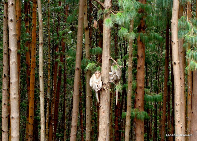 |
Monkeys on a Pine tree.
|
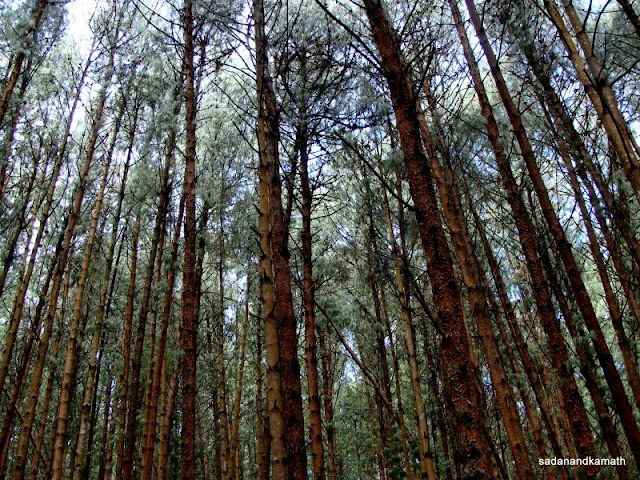 |
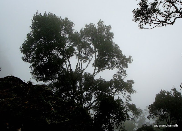
| Pine tree forest on way to Poombarai. |
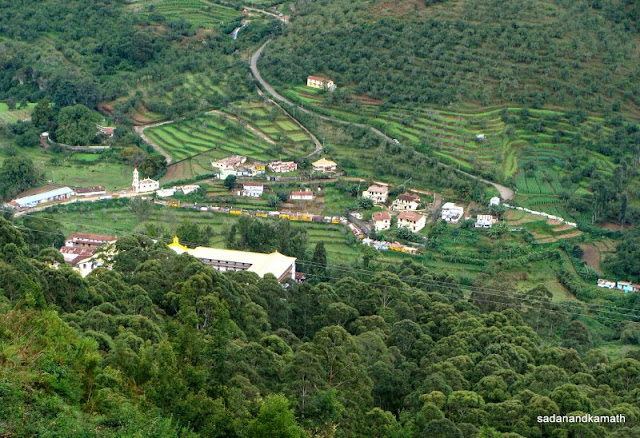
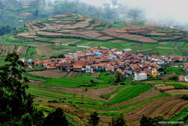
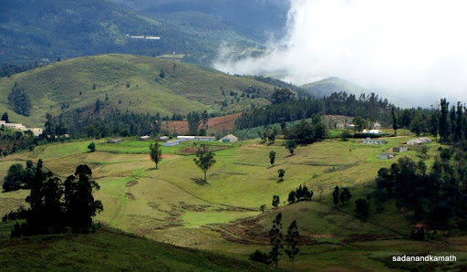
On a way to Poombarai View Point, we took a brief stop to visit Lakshmi-Muruga temple on an elevated small table top. The temple seemed to be a new one as some part of the temple was still under construction. Idols of Lakshmi and Muruga looked impressive. Just across the temple was a small meadow probably used by week-end picnickers as evident from the broken beer bottles and other filths scattered at some places. A few kms further drive led us to Poombarai View Point. We were just lucky to get awesome view of Poombarai village surrounded by vegetable farms from the View Point just for less than 5 minutes as the entire valley was covered with mist in no time. The valley view with Poombarai village in the middle looked very scenic and in my view, was comparable to any country-side view in Europe. In around Poombarai View Point, some wildflowers were seen on both sides of the road.
 |
| A beautiful pathway to Neptune Pool. |
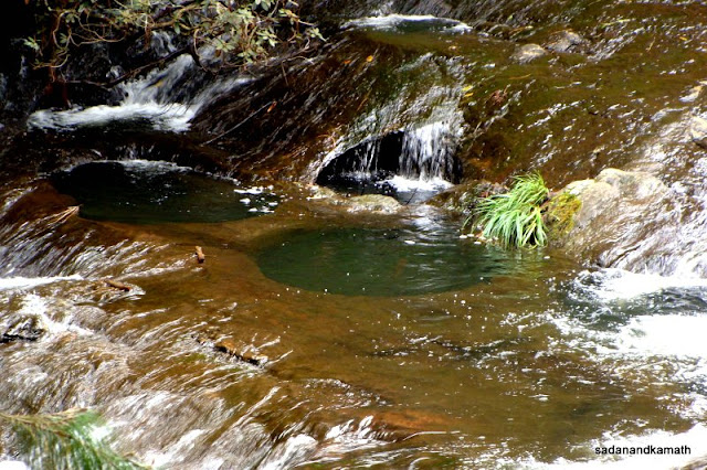 |
| The water from Neptune pool flows as a stream passing through some natural ponds and even a small cave. |
 |
| View of Lakshmi-Muruga temple from the grassland. |
 |
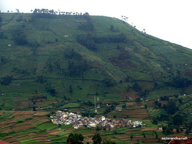
| Poombarai village view from upper road. |
 |
| Mannavanur view from View Point. |
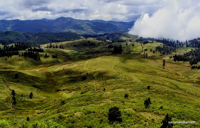
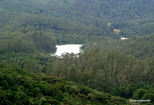
We reached Mannavanur View Point after covering about 15 kms from Poombarai on a bad road. After about 200m of walk brushing through some wildflowers plants, we reached the View Point. Below the View Point was a vast expanse of grassland valley with Mannavanur Lake at the far-end. I was tempted to take a walk through the grassland but my wife having forgotten to carry her walking shoes and sun hat, it was not advisable to do so. We returned to our hotel at around 3.30 p.m. when we came to know that fate of our Berijam Lake trip the next day will be known only in the morning at around 10.00 a.m.
 |
| Mannavanur Lake. |
 |
| Another view of Mannavanur. |
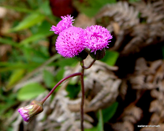 |
| One of a few wildflowers on Mannavanur View Point. |
Day-3 : I was toying with an option that if the permit for Berijam Lake was not forthcoming, we may have to try out Dolphin’s Nose and some other Waterfall trips. At around 10.30 a.m., I got the information from the hotel desk that the permit for Berijam Lake has been collected by the driver of the car hired by us and he will reach the hotel any time to pick us for the Berijam Lake trip. In less than 15 minutes, we were on the road to Berijam Lake. Like the previous day, we picked up our favourite puffs and bakery items from Hill Top Cafe Bakery and proceeded towards Gundar Forest Check Post near Moir Point to get into the forest road.
Our first stop was at Silent Valley. As usual, the Valley was fully covered with mist. We waited for some 15-20 minutes hoping that the mist will clear but it was not to be. We then proceeded to Fire Tower, our next stop. Here we got some partial view of the backside of the Silent Valley but soon the entire valley was engulfed with mist. Next, we proceeded to Upper Berijam Lake View. Fortunately, the entire valley was clearly visible with dense forest cover which tapered off partially to get the view of Barijam Lake. The next stop was at Cap’s Fly Valley View (Toppi Theobi Parai). The valley was partially visible nearer to the Point. True to the name of the valley, the strong breeze from the deep valley is said to make one’s cap fly back on the top instead of falling in the valley.
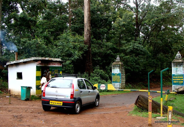 |
| Forest Check Post at Gundur for entry into Berijam Lake road. |
 |
| Silent Velley of Berijam Road in mist. |
 |
| Berijam Lake seen from Upper Brijam Lake View Point. |
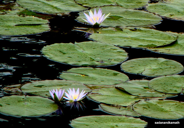
We were on the last lap of our forest journey to an eagerly awaited Berijam Lake. About 2-3 kms before the Berijam Forest Check Post, we came very close to Berijam Lake shore where the lake was the widest. No vehicles are allowed beyond the Berijam Check Post except the Forest Department’s vehicles. I found that only 5-6 cars/SUVs were parked. The new permit system seemed to have affected the free flow of vehicular traffic to Berijam Lake! The entire area surrounding Berijam Lake looked very pristine. Even the Forest Staff Quarters constructed at the far end of the Lake were constructed aesthetically. We walked towards nature trails located on the other side of the lake shore. The Check Post end of the lake was full of lotus plants. I also noticed that on both sides of the road leading to the nature trails and to the Forest Rest House were repository of wildflower plants many of which have dried up as the rain has abated. After spending about 2 hours, we left Berijam Lake for our return journey. Luckily for us, the mist and clouds were getting cleared and at last we could see some valley views from Fire Tower and Silent Valley.
 |
| The forest check post side of Berijam Lake is full of lotus plants. |
 |
| A nature trail walk along the shore of Berijam Lake. |
 |
| Forest Department employees' quarters in Berijam lake side. |
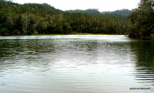 |
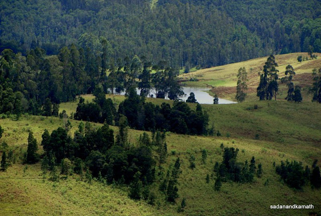
Berijam Lake is at its widest some 3 kms before Forest check post.
|
 |
| View from Hotel Villa Retreat lasen on our last day. |
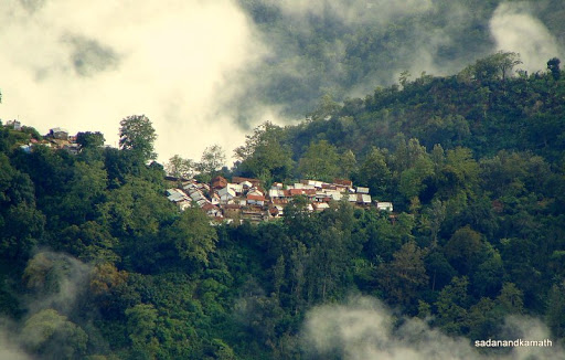 |
| A village on a saddle seen from Coaker's Walk. |
 |
| Mountains turned blue as sun set for the day. Seen from Coaker's Walk. |
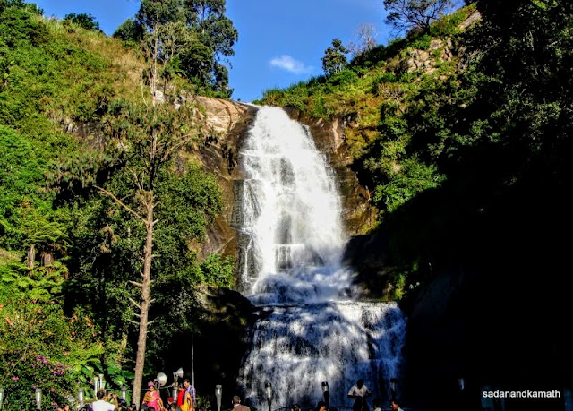 |
| Silver Cascades some 8 kms after Kodiakanal on our way to Valparai. |
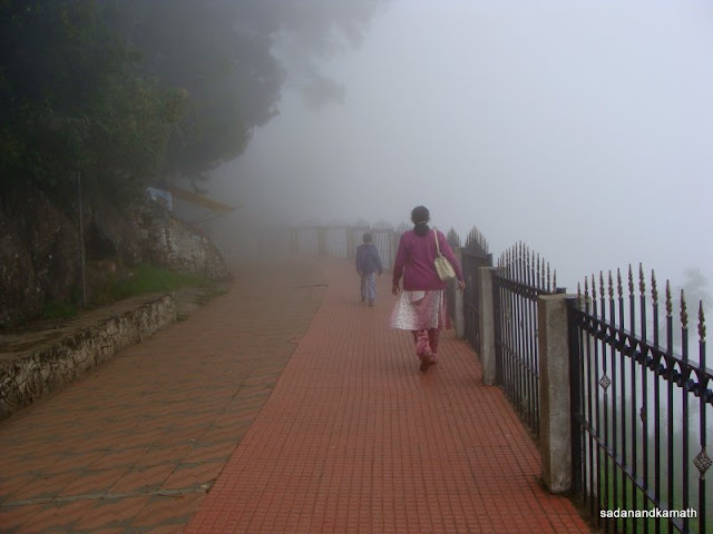
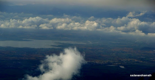
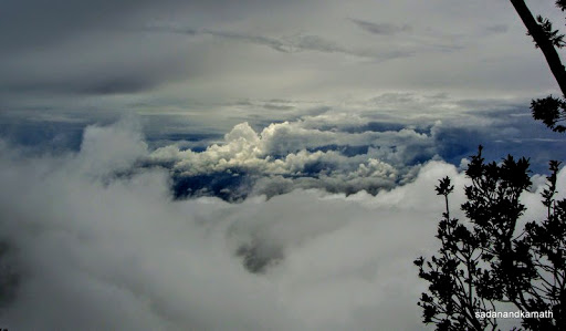
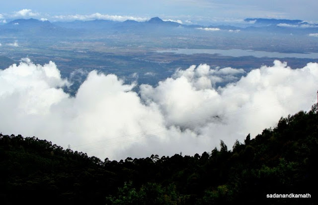
After reaching our hotel, we observed that valley view was getting cleared from the mist. We decided to go for Cocker’s Walk once more. It was the most rewarding walk as we could see valley and the Vaigai dam backwater in the plains with scattered white and grey clouds hanging over the valley. As we walked towards the end, the mountain ranges beyond the valley turned blue as the sun set in with scattered white and grey clouds adding lustre to the sky. It was a grand finale to our Kodiakanal trip.

No comments:
Post a Comment